← Work / Coastal Resource Mapping
Case study · Client work
AI meets forestry: smarter tree detection with drones.
- AI
- GIS

Coastal Resource Mapping
The challenge
Manual forestry surveys are slow and expensive, and tree detection in dense coastal BC stands is brutal — overlapping crowns and steep terrain distort every measurement.
What I did
We combined UAV imagery with GIS: digital surface, elevation and canopy height models, plus watershed analysis for crown isolation — validated against field survey data.
Models all the way down.
A two-tiered methodology using Pix4D, Exelis E3D and ArcGIS: surface, elevation and canopy height models with raster math and watershed analysis, validated against field surveys.
- DSM / DEM / CHM generation
- Watershed crown isolation
- Field data validation
Pilot & trainer.
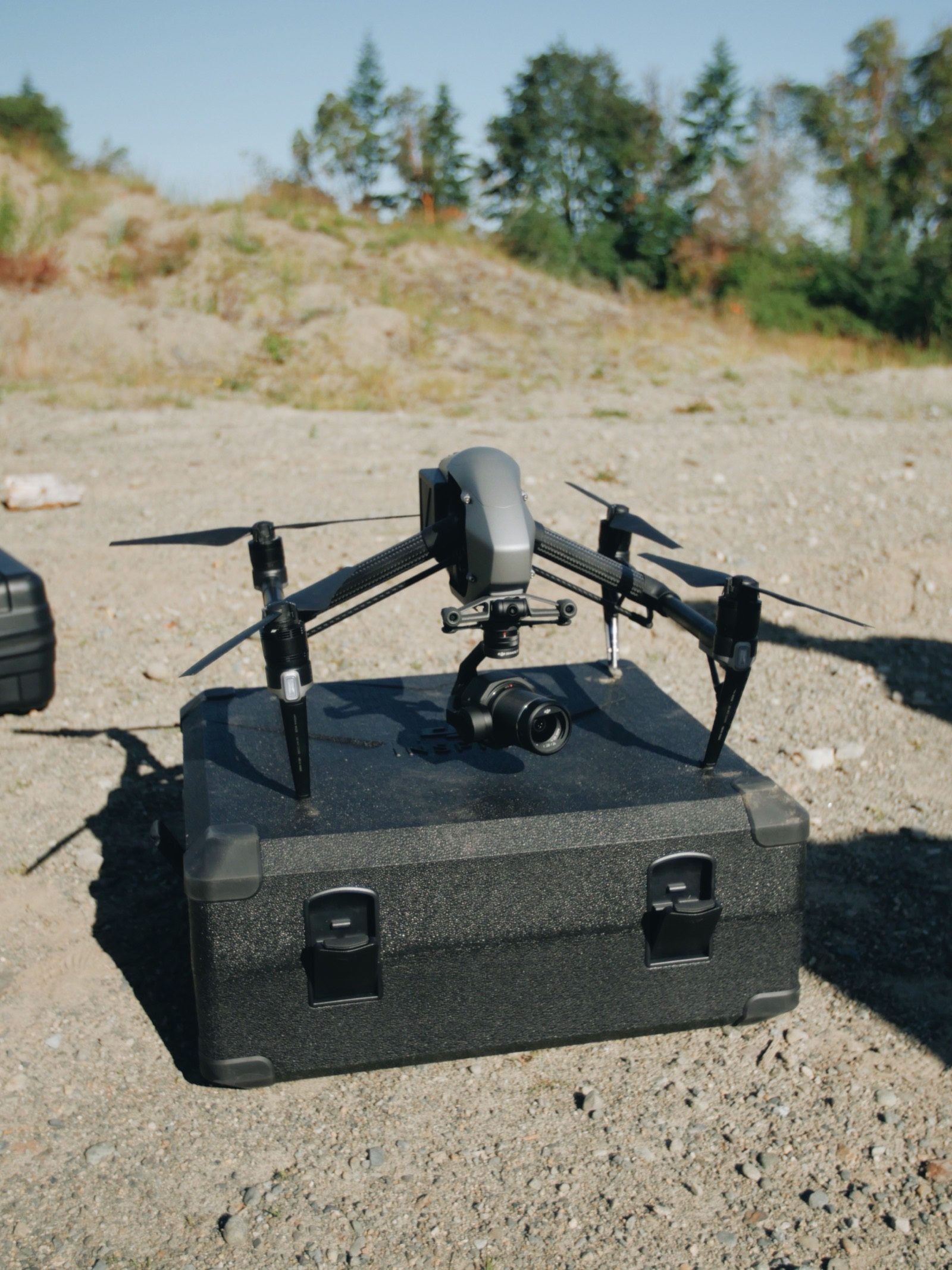
I piloted the UAVs and designed low-altitude flight paths, trained AI models for tree detection and species differentiation, and reduced false positives by integrating field data.
- UAV piloting & flight paths
- AI model training
- Crown delineation tuning
- Field data integration
Measured from above.
Height accuracy within 5–20% — meeting or exceeding BC forestry standards — with less ground surveying, larger coverage, and a repeatable, partially automatable methodology.
- 5–20% height accuracy
- Fewer ground surveys
- Repeatable methodology
The weirdest project on the list.
Before the design systems and brand builds: flying drones over BC forests and teaching machines to count trees. Range is a feature.